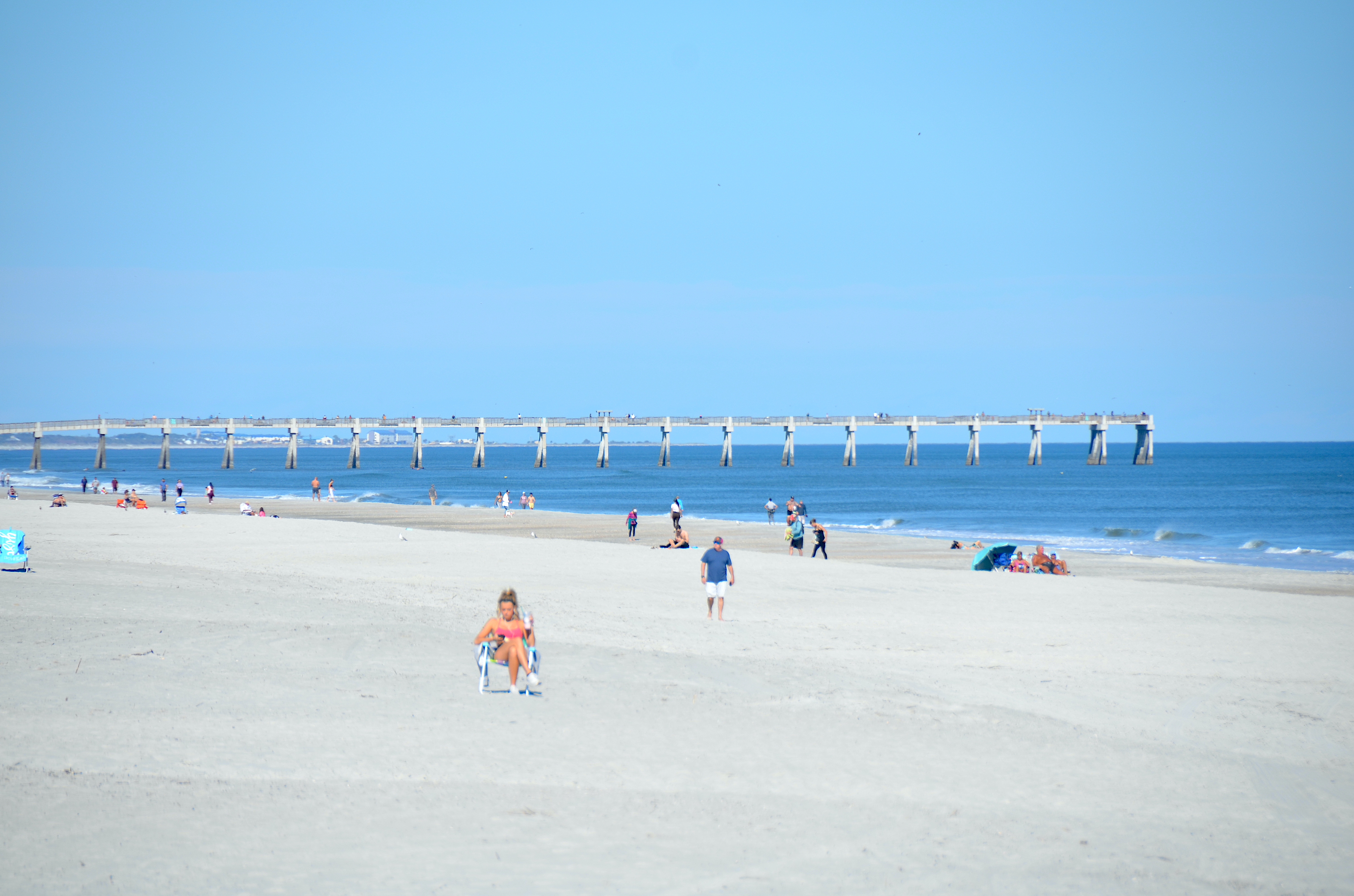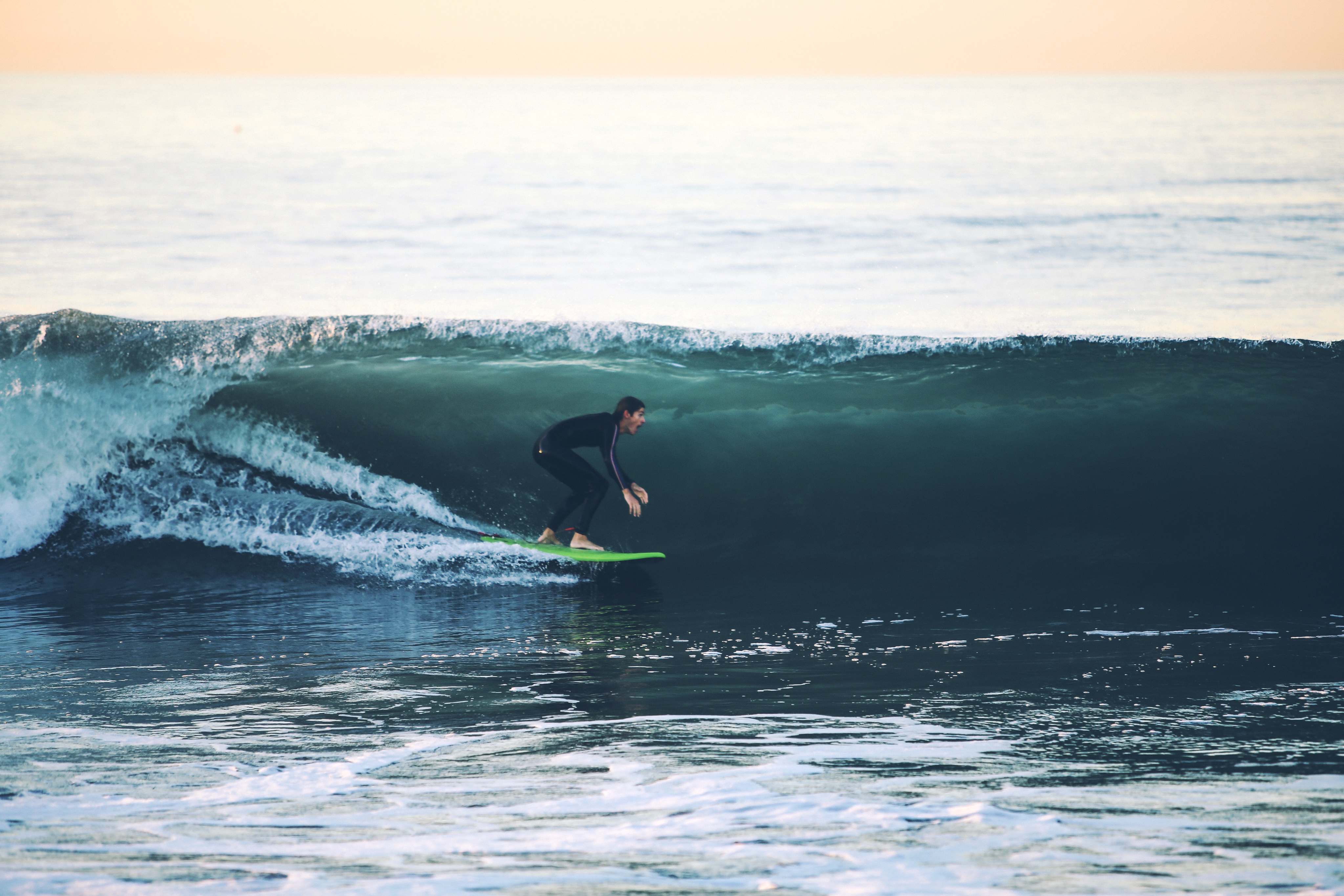
The National Weather Service extended the Coastal Flood Warning for Jacksonville Beach through 2 a.m. Friday, Oct. 30, replacing the earlier watch. The warning covers areas near the Atlantic coast and Intracoastal Waterway, with flooding possible around high tides. In an Oct. 23 alert, the City of Jacksonville's Emergency Preparedness Division said strong northeast winds and high astronomical tides, known as "king tides," were forecast to bring moderate-to-major tidal flooding and life-threatening surf to the Beaches area. The city's emergency preparedness page noted that while this is not a named storm, the National Weather Service (NWS) Jacksonville has advised that flooding and wind impacts could match those of a tropical storm. The initial forecast expected the worst flooding around high tides beginning Saturday evening, with the highest water levels near Sunday and Monday morning high tides. The NWS surf zone forecast issued Saturday morning projected surf of 6 to 7 feet Saturday, building to 8 to 10 feet Sunday and holding at that level through Monday. During the initial Oct. 24-26 forecast period, the NWS projected surf of 6 to 7 feet Saturday and 8 to 10 feet Sunday and Monday. The earlier advisory also warned of high rip currents and gale-force conditions offshore. The city forecast coastal wind gusts up to 45 mph from Saturday afternoon through Sunday, with possible tree and limb damage and power outages.
At those flood levels, water may flow over coastal and riverfront roads near high tide. Flooding is also possible in homes and businesses in low-lying areas, the city said. Rough surf is expected to cause beach erosion. How the city prepared: The Duval County Emergency Operations Center (EOC) moved to partial activation Saturday evening, Oct. 24, with staff on site to issue warnings and keep residents informed. The Jacksonville Fire and Rescue Department positioned swiftwater rescue and emergency road-access teams. The Jacksonville Sheriff's Office said it would have additional officers and resources available from Saturday through Monday.
The Jacksonville Transportation Authority (JTA) is monitoring conditions and will post any service changes at JTAFLA.com and on social media.
What residents should do
The city urged residents in low-lying areas to move vulnerable items to higher ground before high tide. Secure or bring indoors outdoor items such as patio furniture and trash cans before winds pick up.
Do not drive, walk or swim through flooded areas. Six inches of moving water can knock a person down. Twelve inches can sweep away a vehicle.
Conditions at the beach and on the water will be life-threatening, the city warned. Stay out of the ocean.
Residents who encounter downed power lines or trees creating a safety hazard can call 904-630-CITY (2489). Sign up for weather alerts at JaxReady.com/ALERTJAX.